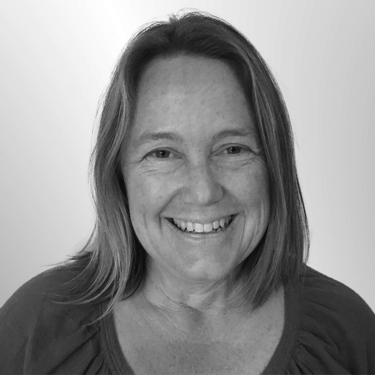
While some drones are used to destroy, Barbara’s team uses them – complete with military guidance technology – to map threatened ecosystems in Africa, Australia and Antarctica.
Barbara is a senior lecturer in the School of Applied Sciences at Auckland University of Technology and has over 20 years’ experience working in government and NGO’s.
Her research and personal interests are in geography, ecosystem management, cultural landscapes and spatial ecology. Her research focus has been the identification, selection and management of Protected Areas, using geospatial sciences and novel remote sensing technology, such as drones, to map habitats and landscapes for conservation planning.
Barbara’s work has taken her to some of the world’s most remote and unique ecosystems including desert systems in both Antarctica and the Namibia. She is a self confessed techno-nerd and is an advocate for the effective use of drones for good in NZ and beyond.
